MACEDO DE CAVALEIROS
N 41.537.35 ; W 6.96174
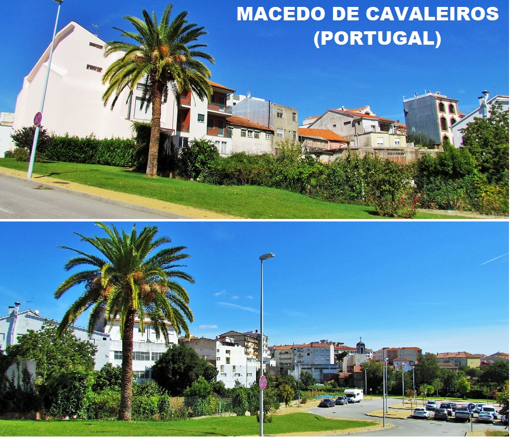
The municipality of Macedo de Cavaleiros is situated in the northeast region of the Trás-os-Montes, within the district of Bragança, limited by the neighbouring administrations of Bragança, Vinhais, Mirandela, Alfândega da Fé, Mogadouro and Vimioso. It occupies the central part of the district, in a transitional zone between the distinctly different Terra Fria (Cold Lands) and Terra Quente (Hot Lands). The median altitude in the municipality is between 600 and 700 metres, marked in the north by the Serra de Nogueira, in the centre by the Serra de Ala and Serra do Cubo, and in the south by the Serra de Bornes and the Monte de Morais.
Climate
The municipality is divided into two climatic regions: Terra Fria (English: Cold Lands), to the north, an area of cold winters and hot dry summers; and the southern part of the municipality, referred to as Terra Quente (Portuguese: Hot Lands), between the Sabor River and the municipality of Mirandela, susceptible to lower winter temperatures and warm summers, commonly above 40 °C.
Economy
The tertiary sector represents 58% of the economic activity in this territory; secondary activities, localized mostly in the industrial zone of the city, represent 22% of the activities of the region. Similarly, agricultural production (21% of the workforce are farmers), is involved in cultivation and animal husbandry. The climatic conditions in the region, and the fertility of its soils has allowed the cultivation and production of wine, cereals, olive and chestnut oils, in addition to the raising of cattle, sheep and goats in many of its fields.