VIMIOSO
41° 35′ 1″ N; 6° 31 ′42″ W
Vimioso is a Portuguese border village located in the sub-region of Terras de Trás-os-Montes, belonging to the North region and the district of Bragança.

It is the seat of the Municipality of Vimioso, which has a total area of 481.59 km2, 4,149 inhabitants in 2021 and a population density of 8 inhabitants per km2, subdivided into 10 parishes. The municipality is limited to the north by the Spanish region of Castile and León, to the east by the municipality of Miranda do Douro, to the south by Mogadouro, to the southwest by Macedo de Cavaleiros and to the west and northwest by Bragança.
Geographical Aspects
The municipality of Vimioso is located on the Mirandese plateau and is part of the Terra Fria transmontana region, which also includes the municipalities of Miranda do Douro, Bragança and Vinhais. It is a rugged municipality, crossed by the deep valleys of the rivers Angueira, Maçãs and Sabor.
Economy
Vimioso is an agricultural municipality, dedicated to the raising of cattle (Mirandesa breed) and pigs and the cultivation of cereals (rye, barley, corn, wheat), olive trees, vines, potatoes and vegetables (pumpkin, cabbage, beans etc.). Once important, goat and sheep farming is now in decline.
In the municipality there are marble mines, in Santo Adrião, and tungsten mines, in Argozelo. The industry is represented by construction companies and locksmiths.
History
There are signs of prehistoric settlement in several places and forts existing at the end of several parishes in the municipality (Atalaia de Vimioso, Pereiras, castro da 'Batoqueira, castro da Terronha etc.).
Along with others in the region (Bragança, Outeiro, Miranda do Douro, Mogadouro, Penas Roias), the castles of Algoso and Vimioso formed part of the defense line of the eastern border of the kingdom. In Vimioso, in addition to the castle destroyed in the 18th century, there was the Atalaia tower of which traces still remain.
Symbols of the right to exercise justice, pillories were erected in Algoso, in front of the Town Hall and in Vimioso, in front of the old castle.
In 1492, the county saw a large influx of Jews expelled from the kingdoms of León and Castile. After camping in a place that has retained the name of Cabanas, between the current settlements of Caçarelhos and Vimioso, the Jews were allowed to settle in various villages and towns in the region (Argozelo, Carção, Vimioso, etc.). Forcibly converted to the Catholic religion, they formed important communities in these localities that barely mixed with the rest of the population until the mid-twentieth century. The Jews – as they are still called today – were distinguished from the farmers by the trades they exercised, linked to handicrafts and commerce.
The 16th century and the beginning of the 17th century were a period of prosperity for Vimioso and other lands in the Northeast of Trás-os-Montes (Miranda do Douro, Outeiro, etc.).
Throughout the 20th century, several migratory surges took a large part of the population to Brazil – until the 1960s – and to Europe (mainly to France), causing the desertification of the municipality.
Parishes
The municipality is composed of 10 parishes:
Algoso, Campo de Víboras e Uva
Caçarelhos e Angueira
Argozelo
Carção
Matela
Pinelo
Santulhão
Vale de Frades e Avelanoso
Vilar Seco
Vimioso

Junqueira (Matela)
Mora (Uva)
São Joanico (Vale de Frades)
Serapicos (Vale de Frades)
Quinta de Vale da Pena (Pinelo)
Vale de Algoso (Algoso)
Vila Chã (Uva )

Patrimony
Despite the wars and vicissitudes of History, the municipality has an architectural heritage that includes:
Algoso: Solar dos Távoras, Castle (13th century), Pelourinho (16th century), Main Church and Chapel of São João (17th century);
Angueira: Castros do Gago and Cocoia;
Argozelo: Chapel of S. Bartolomeu, Castros da Terronha and Cerro Grande;
Caçarelhos: Joanina Chapel;
Santulhão: Roman Bridge over the Sabor River
Carção: Castro de Carção;
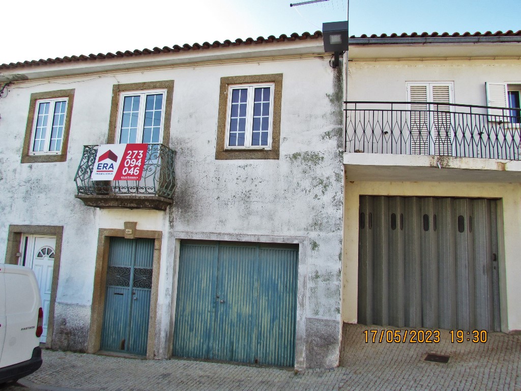
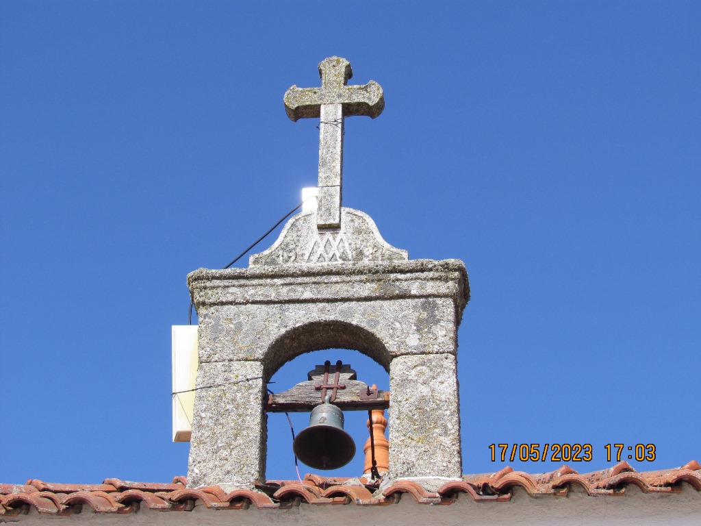
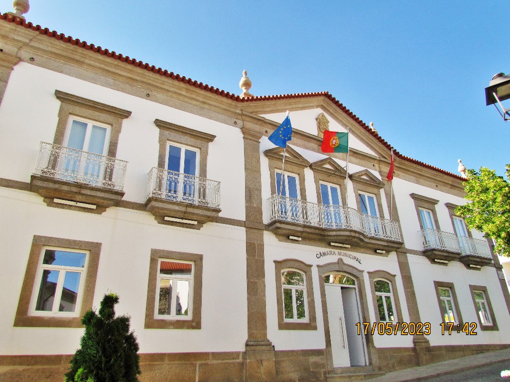
Vimioso: Igreja Matriz (16th/17th century), Pelourinho (Middle Ages), Castros de Batoqueira and Vale de S. Miguel.
Accessibilities
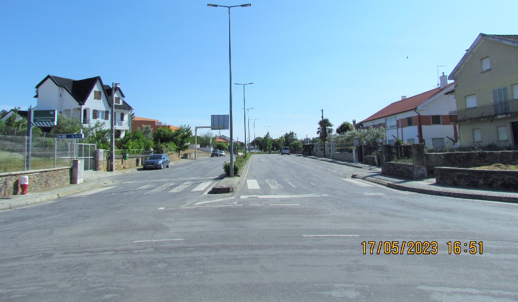
EN218
Miranda do Douro - Malhadas (Miranda do Douro) - Genísio (Miranda do Douro) - Vimioso - Carção (Vimioso) - Argozelo (Vimioso) - A4
EN219
Mogadouro - Algoso (Vimioso) - Field of Vipers (Vimioso) - Vimioso
EN317
Carção (Vimioso) - Santulhão (Vimioso) - Bagueixe (Macedo de Cavaleiros) - Vineyards (Macedo de Cavaleiros)


.JPG)